


|
|
|
 |
|||||||||||||
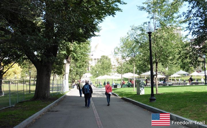
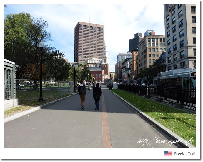
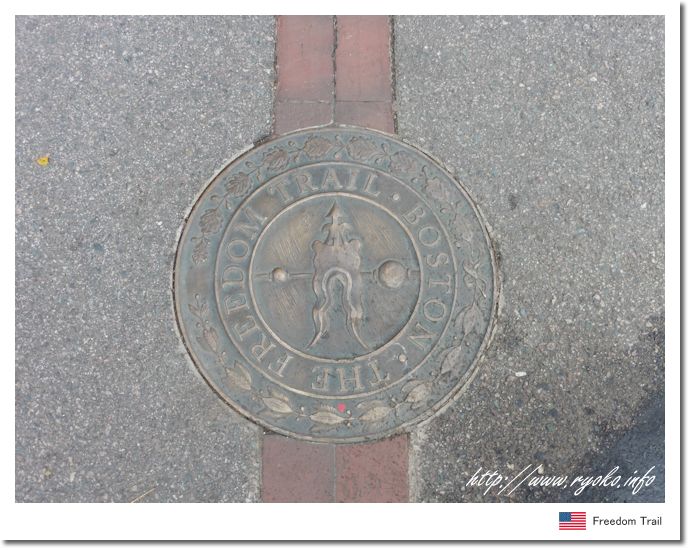
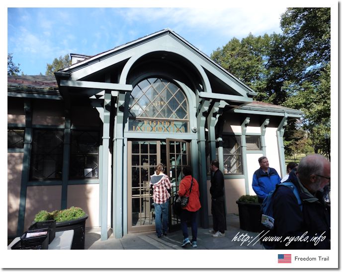
| Freedom Trail is a course that walks around Boston's historic sites. The Freedom Trail is a landmark of approximately 4 km from Boston Common to Bunker Hill Monument, which is a landmark for sightseeing. The fact that there is a line along the route makes it easy for even beginners in Boston to visit historical buildings without hesitation. Route: 1.Boston Common → 2. Massachusetts State Capitol → 3. Park Street Church → 4. Granary Cemetery → 5. Kings Chapel and Kings Chapel Cemetery → 6. Statue of Benjamin Franklin and Old Boston Latin・ School → 7. Old Corner Bookstore → 8. Old South Meeting Place → 9. Former Massachusetts State Capitol → 10. Boston Massacre Site → 11. Faniel Hall and Quincy Market → 12. Paul Revere's House → 13. Old North Church → 14. Copp's Hill Cemetery → 15. Constitution → 16. All 16 points of Bunker Hill Monument. |
|||||||||||||
 Route from Park Street Station  https://www.thefreedomtrail.org/ |
|||||||||||||
 |
|||||||||||||
    |
|||||||||||||
 |
|||||||||||||
|
Open Sightseeing Map (Big Map) |
|||||||||||||
|
|||||||||||||
|
|
     |