


|
|
|
 |
|||||||||||||
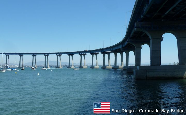
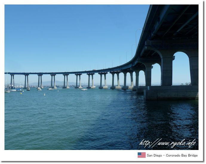
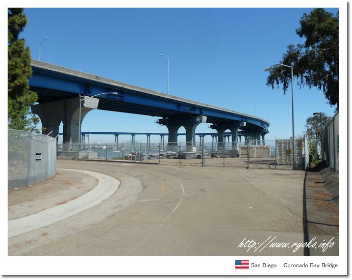
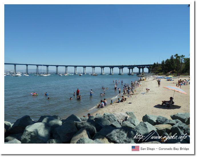
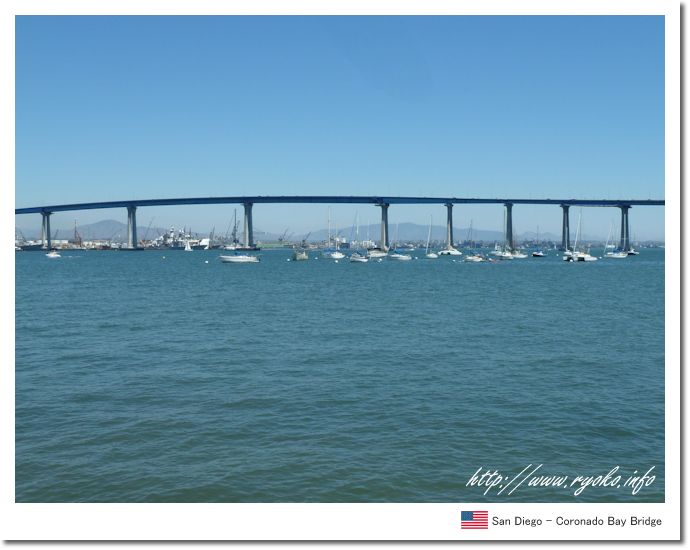
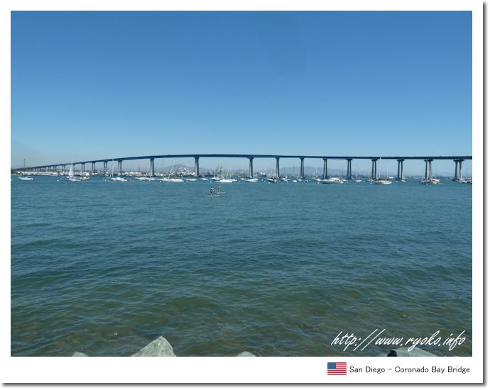
| The San Diego-Coronado Bay Bridge is a large bridge linking San Diego to Coronado Island in the mainland United States. San Diego-Coronado Bay Bridge was built in 1969 and features a large bend. In addition, San Diego is a military port, so its height is as high as 61 m so that ships can enter and leave. The San Diego-Coronado Bay Bridge can be reached from the side of Coronado Island to the foot of the bridge, from which you can see the large curves that are characteristic of it. In addition, it is a recommended spot for photography because it is also a point where you can see a large number of yachts floating in the sea as well as the curves are most visible. |
|||||||||||||
 |
|||||||||||||
     |
|||||||||||||
 |
|||||||||||||
|
Open Sightseeing Map (Big Map) |
|||||||||||||
|
|||||||||||||
|
|
     |