


|
|
|
 |
|||||||||||||
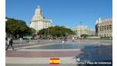
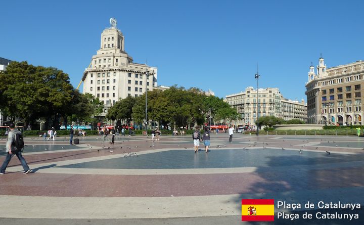
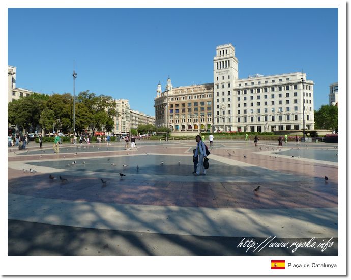
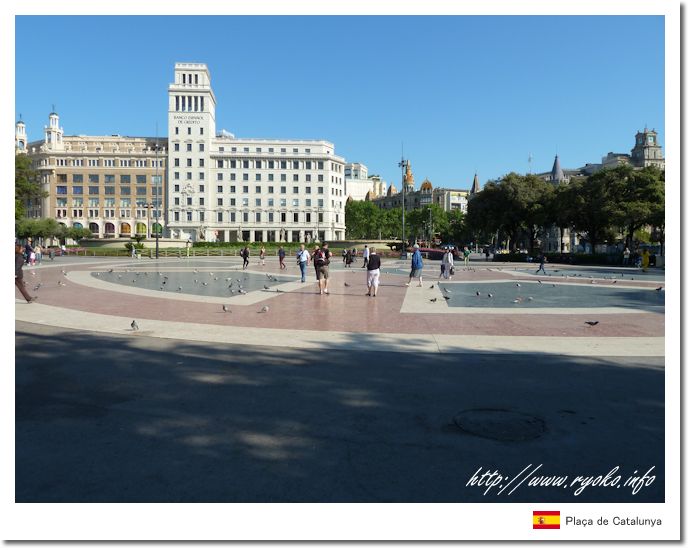
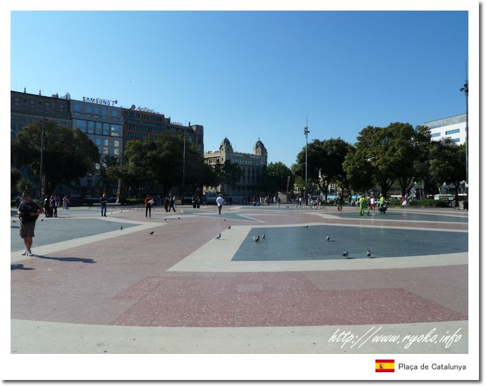
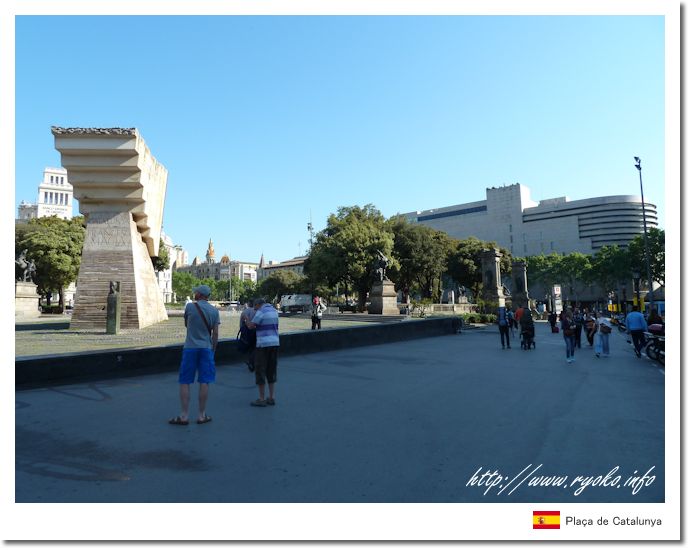
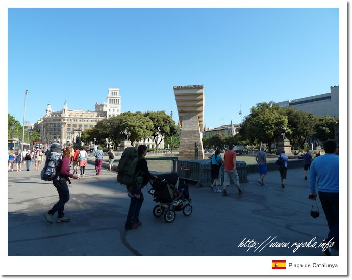
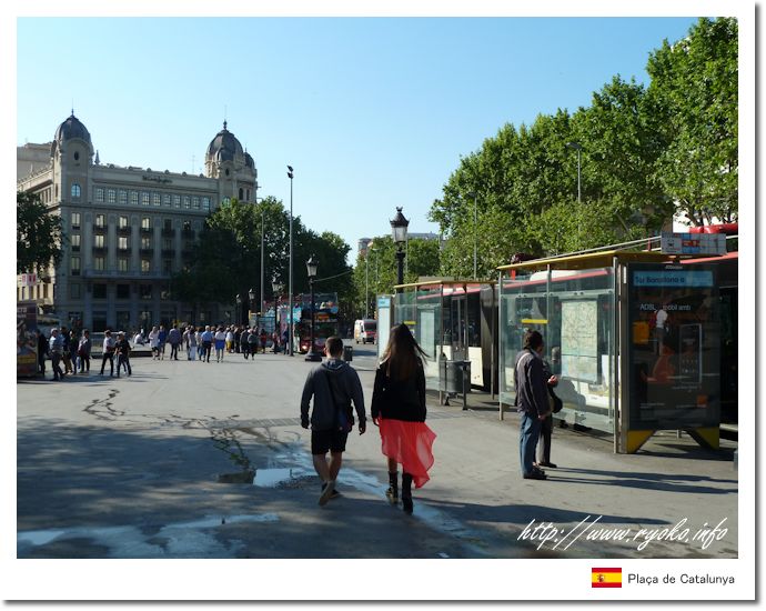
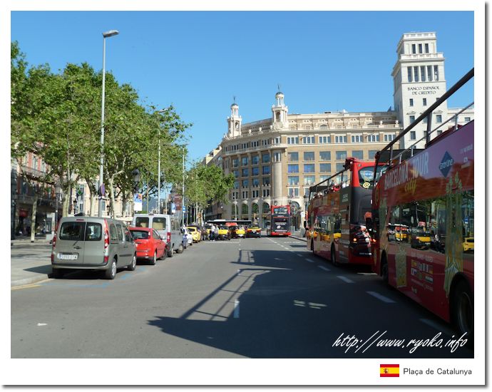
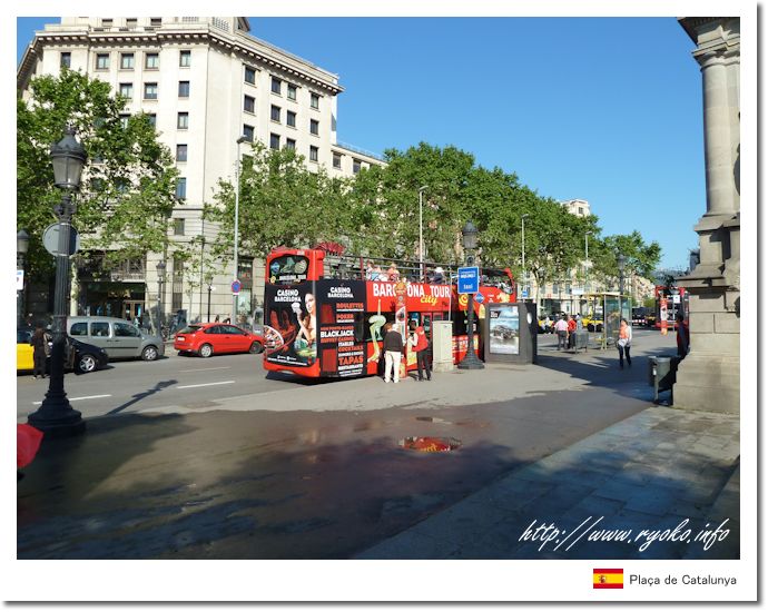
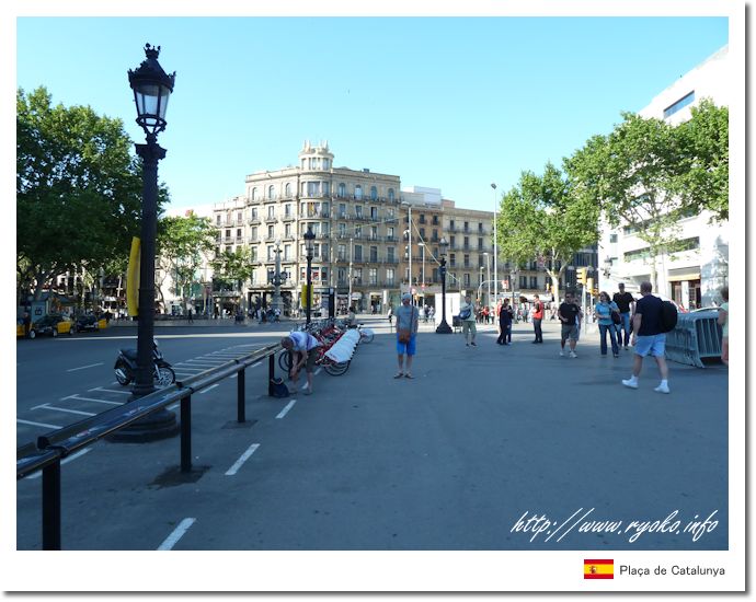
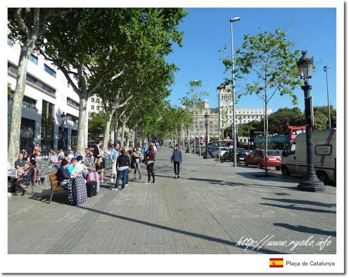
| Plaça Catalunya is a large square located in the center of Barcelona. Plaça Catalunya was built in 1927 and is centrally located in the center of Barcelona, making it a central location for subway stations and city bus stops. It is also used as a bus stop for optional tours. The area around the plaza is a downtown area with department stores, banks and hotels, and many events are held. |
|||||||||||||
 Route from Catalunya Station  https://meet.barcelona.cat/ |
|||||||||||||
 |
|||||||||||||
          |
|||||||||||||
 |
|||||||||||||
|
Open Sightseeing Map (Big Map) |
|||||||||||||
|
|||||||||||||
|
|
      |