|
|
 |
|||||||||||||
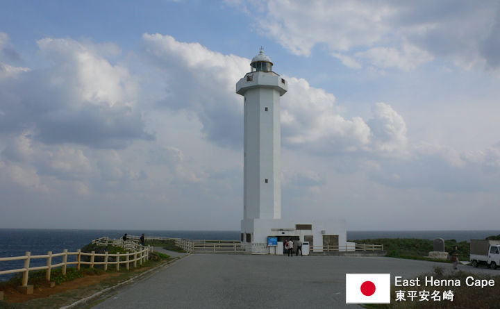
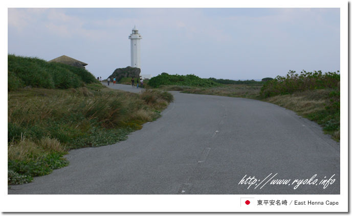
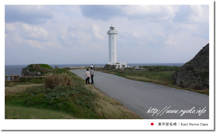
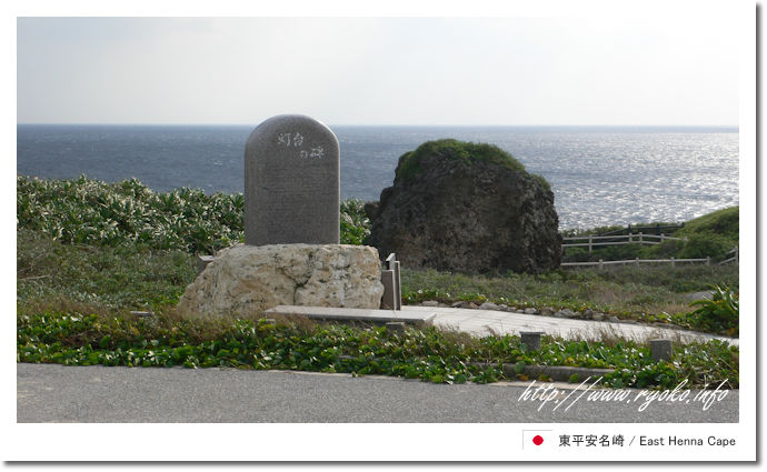
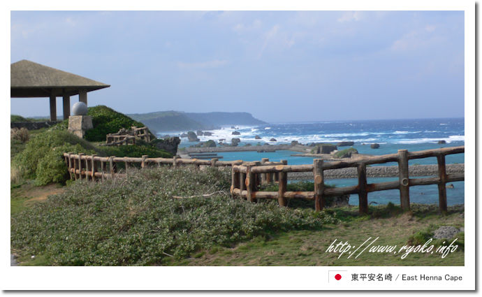
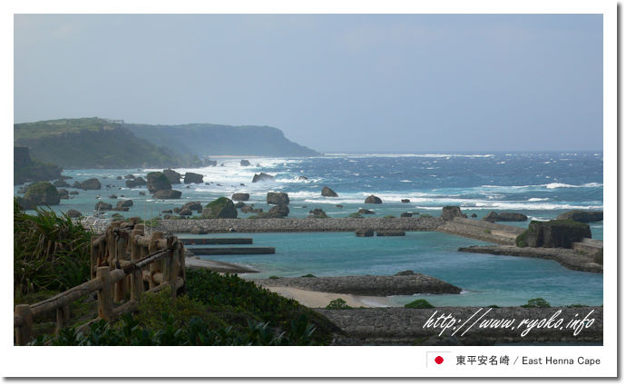
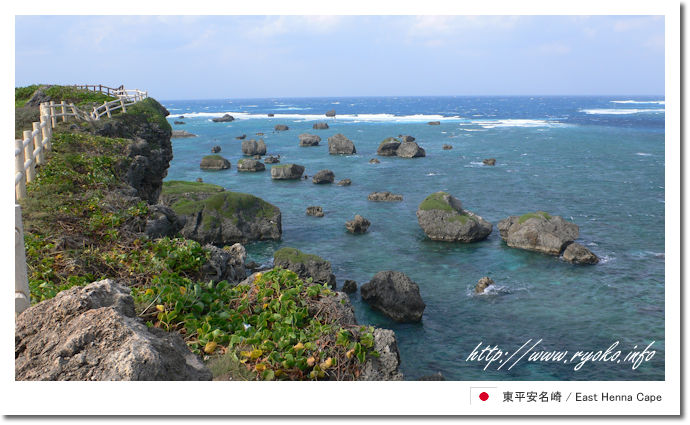
| The cape at the eastern end of Miyakojima is East Henna Cape. East Henna Cape is shaped like an elongated peninsula that stretches for about 2 kilometers, all of which are cliffs. The lighthouse at the tip is the final goal point, but it is a very easy-to-access spot with toilets and promenades from the parking lot to the lighthouse. In addition, the scenery during that time is also wonderful, so it has been selected as one of the 100 best views of Japan City Park. When you reach the lighthouse, the vast ocean beyond it will heal your heart, so let's do our best on the promenade, although it is a little long distance. |
|||||||||||||
 |
|||||||||||||
      |
|||||||||||||
 |
|||||||||||||
|
Open Sightseeing Map (Big Map) |
|||||||||||||
|
|||||||||||||
|
|
      |